Bring the Field to You
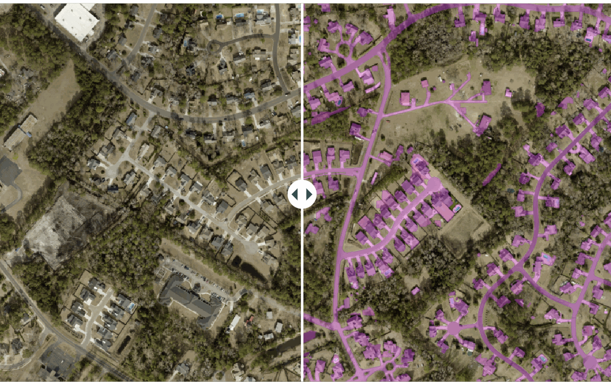
At AirWorks, we dramatically boost the efficiency of engineering teams by automating the walkout process. Our AI-enabled field intelligence solutions rapidly deliver accurate, actionable ground truth of your project site or infrastructure in the field.
Permit and build faster, reduce delays, cut costs, and free up your teams to focus on higher-value work.
The New Standard for Field Intelligence
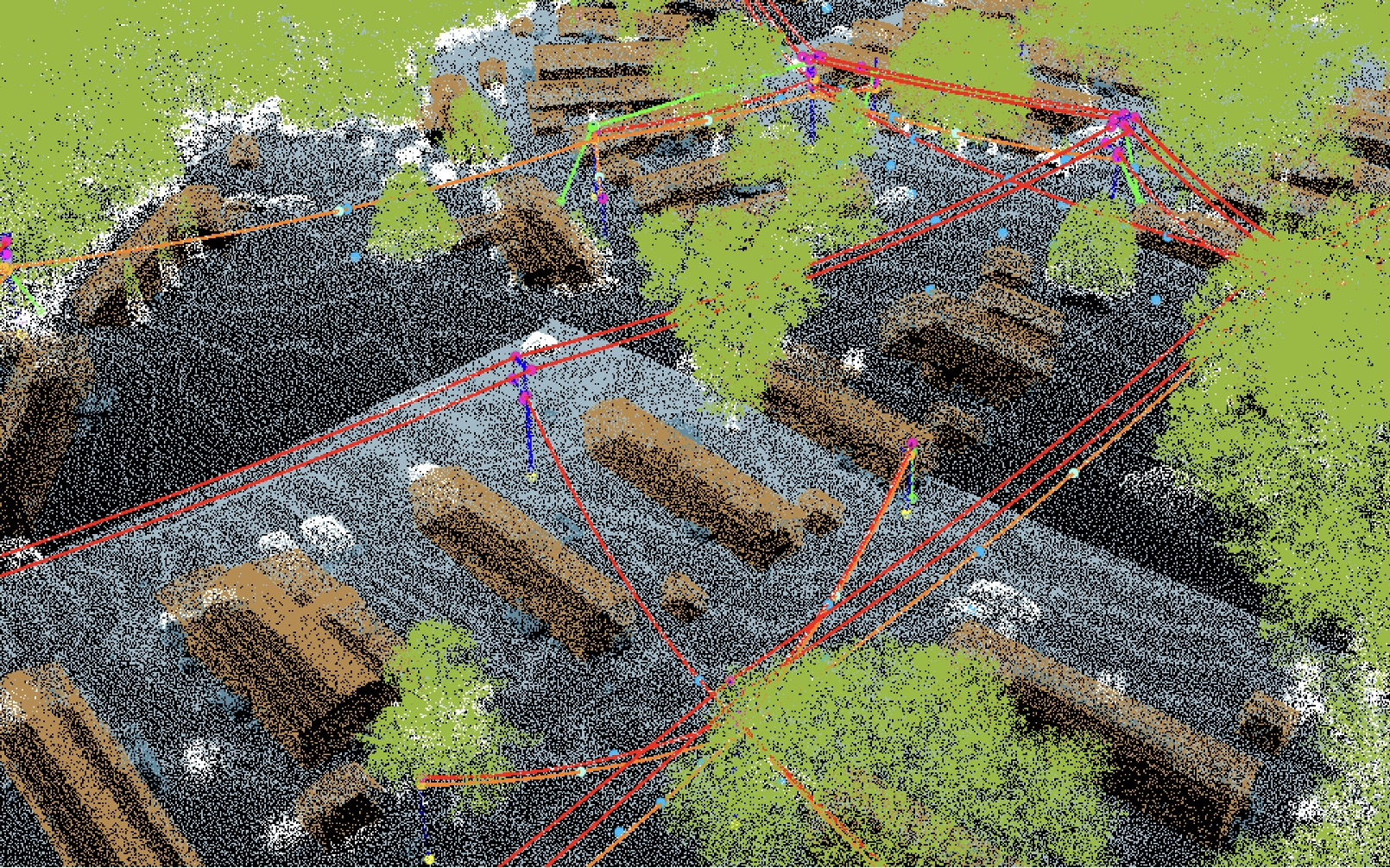
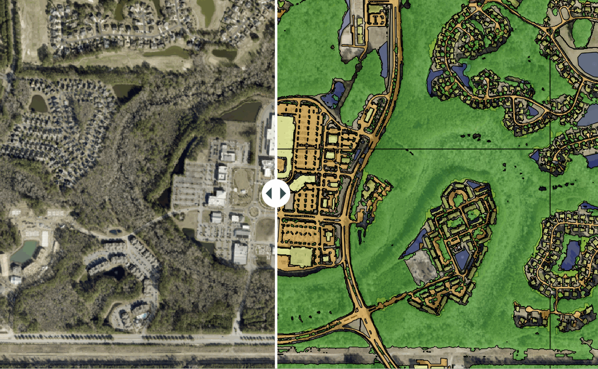
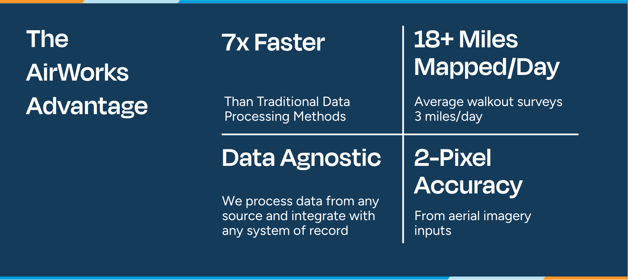
- Rapid, Automated Data Processing: AirWorks automates the process of creating clean, structured linework from raw 2D and 3D field data, helping move teams through this arduous and mundane process dramatically faster than traditional methods can.
- Leverage Next-Gen Data Capture Technology: AirWorks is proudly data agnostic. We accept field data from a remarkably wide range of capture methods, including mobile LiDAR, drones, satellites, aircraft, and open source imagery.
- Flexible output formats: Our data agnosticism extends to our deliverables, as well. We can provide outputs in GIS, CAD, Pole Loading Software, paper space environments, and beyond. Whatever data format you utilize, AirWorks will meet you where you’re at.
- Accurate and QC-assured linework: Each project undergoes structured quality control from a US-based team of geospatial experts to ensure that the output is completely accurate and ready for seamless utilization in your workflows.
- Supports wide variety of key use cases: Common applications include right-of-way assessments, permitting, make-ready evaluation, pole loading analysis, and network maintenance.


Contact Us

NCTC VP, Group Purchasing


